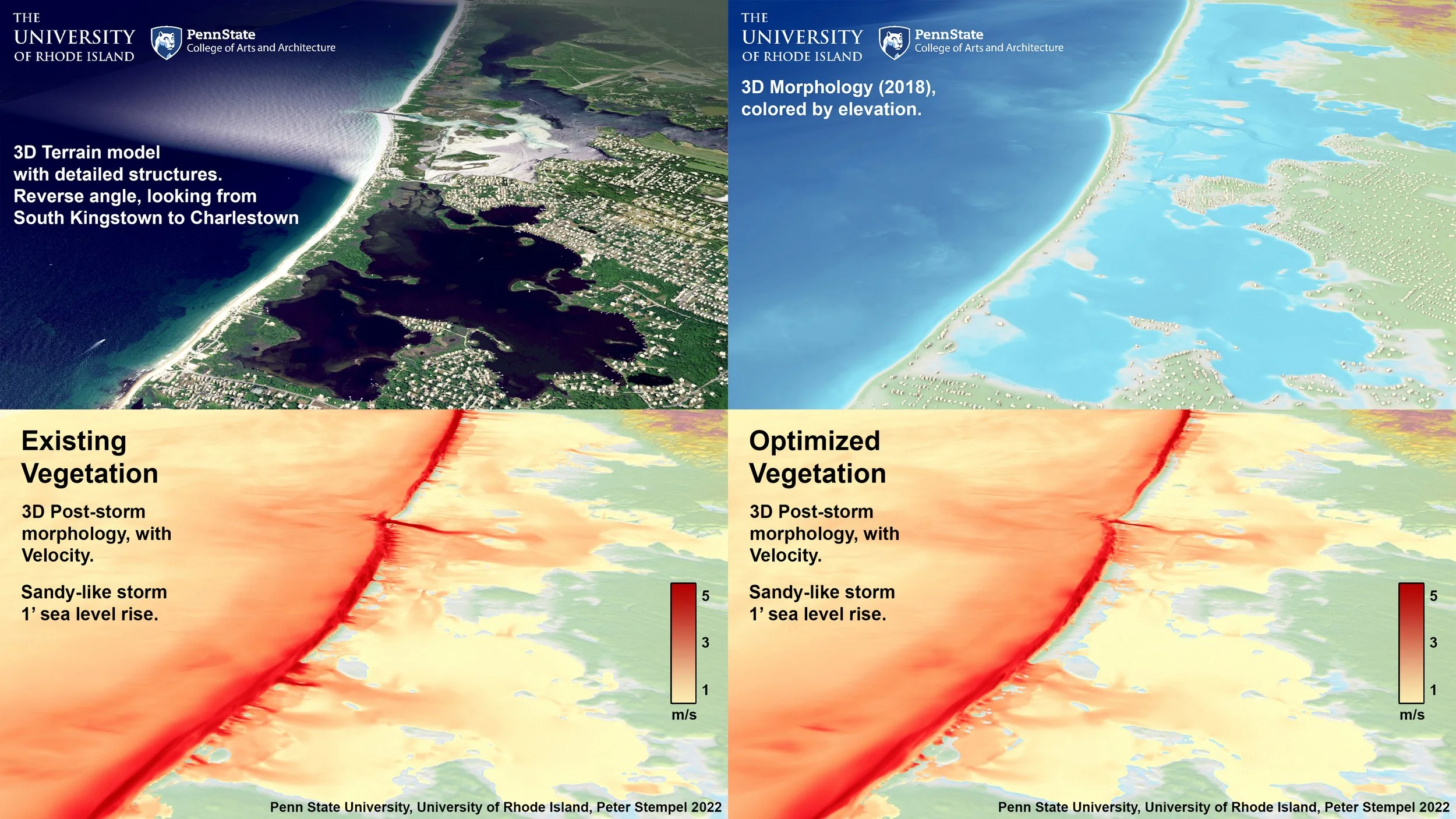
Trustom Pond Superstorm Sandy SLR1Morphodynamic visualization of Trustom Pond in South Kingstown RI showing how sediments move during a storm similar to Superstorm Sandy with 1' of additional sea level rise. Models were created in X-beach and validated using simulations of Superstorm Sandy compared to documented impacts. X-Beach outputs were visualized using custom software tools.
Charlestown Superstorm Sandy SLR1Morphodynamic visualization of Charlestown RI barrier beach showing how sediments move during a storm similar to Superstorm Sandy with 1' of additional sea level rise. Models were created in X-beach and validated using simulations of Superstorm Sandy compared to documented impacts. X-Beach outputs were visualized using custom software tools.
Superstorm Sandy Like Storm on Current (2018) Morphology (Charlestown Rhode Island)This visualization depicts morphological changes to the area around Charlestown Breachway. Note that water level is not shown in this visualization. Outputs are based on X-Beach model in surfbeat mode.
Depiction of Charlestown Breachway (RI) during a Superstorm Sandy like storm on current (2018) morphology.This visualization depicts morphological changes to the area around Charlestown Breachway. Note that water level is not shown in this visualization. Outputs are based on X-Beach model in surfbeat mode.


