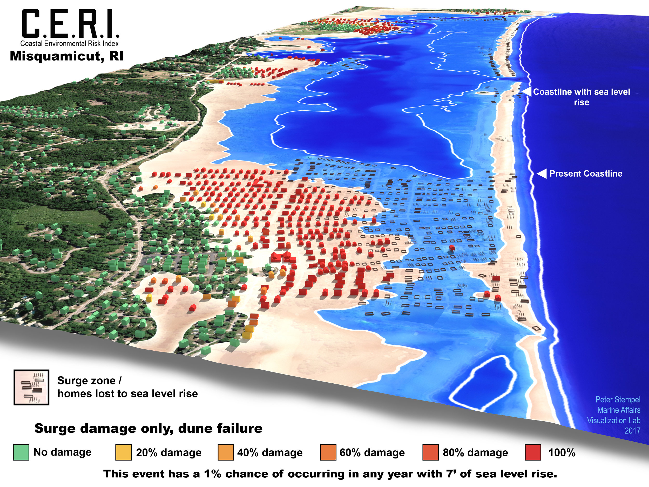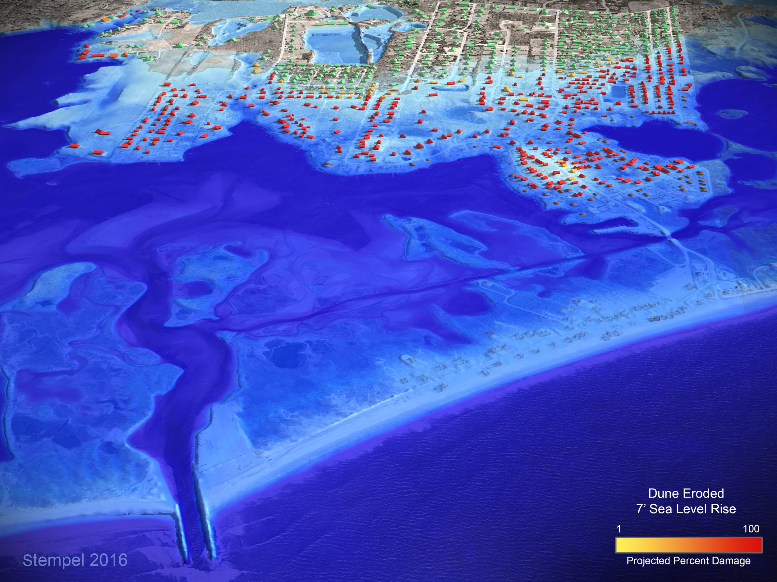


The Coastal Environmental Risk Index (CERI) is part of The Rhode Island Coastal Resources Management Council (CRMC) Shoreline Change Special Area Management Plan (known as the Beach SAMP). CERI includes projections for inundation, erosion, wave, and in some cases wind damage. Damage to structures is based on forensic engineering work by the United States Army Corps. of Engineers (USACE) North Atlantic Coast Comprehensive (NACCS) study and other engineering resources compiled by the University of Rhode Island Department of Ocean Engineering. The visualizations shown here are controlled by model outputs, and in some cases include subtle transformations to LiDAR derived terrain to depict coastal recession and dune failure. These visualizations were used in public engagement processes managed by the Rhode Island Coastal Resources Council (CRC). This work was created in 2016-2017. An academic paper published in the Journal of Marine Science and Engineering describing CERI can be found here.